|
Solo Up Celo March 23-24, 2005 - Celo Knob (6327') |
||
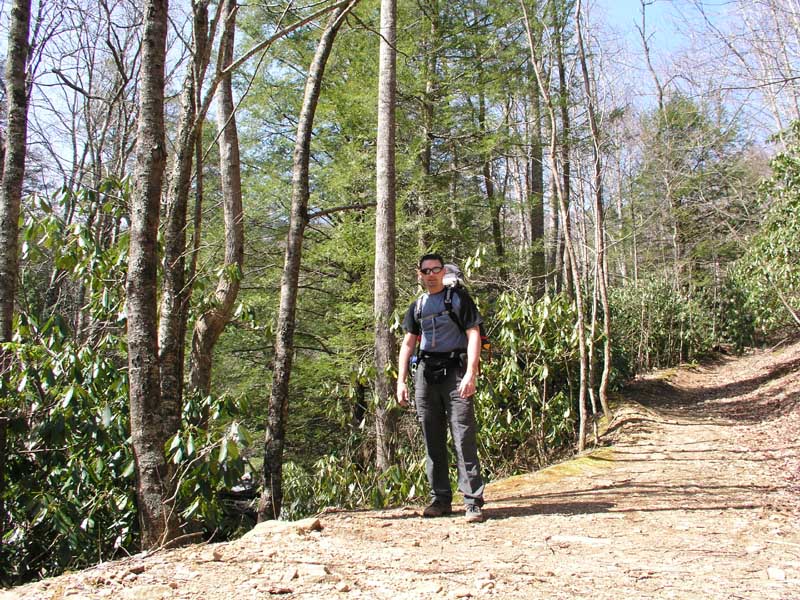
| Just a week back from my Mount Washington trip I decided that I might as well keep getting into shape for the spring hiking season by visiting Black Mountains just a couple hours west of Charlotte. Home to the highest peak in the U.S. east of the Mississippi (Mount Mitchell 6684') we have hiked the Black Mountains area several times on many different routes. Unfortunately Marisa couldn't join me for this hike (that whole work thing!) so I planned a strenuous hike up a trail I've never hiked before to a summit I've never been on. The Woody Ridge Trail is a very steep trail that ascends about 3000 vertical feet in a very short 2.2 miles. The trail terminates at the junction of the Black Mountain Crest Trail which runs along the spine of the Black Mountains. I planned to camp in a saddle between Gibbs Mountain and Celo Knob, with Celo Knob being the summit objective. Leaving Charlotte early Thursday morning I arrived at the trailhead at about 10:45 AM ready to get cranking up the trail. Despite some niggling concerns that the trailhead wasn't marked, I was happy to be out on a beautiful spring day with temperatures in the mid-60s and not a cloud in the sky! (click to expand pictures)
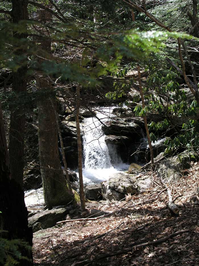
The trail climbed ever upward and I started sweating immediately despite only wearing a t-shirt and pants. The trail paralleled a beautiful mountain stream with small tumbling waterfalls.
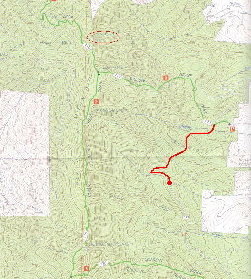
Before long the trail started getting a bit wishy-washy and I started to get that feeling deep within that I had screwed up. Pulling out the GPS I took a look at the point where I had marked my car location and transposed that lat/long onto my topo map. Good grief!! I wasn't even close to being on the correct trail! I must have parked at the wrong place. Straight line distance to the correct trail was about 1 mile, and through the woods and hills I knew that was going to be more than that. Debating on whether to turn around or forge on ahead down a side-trail I decided to press on now that I knew where I needed to be. The side trail I took contoured around a spine and it appeared to be heading toward an intersection with the correct trail. The map with my errant parking place (red dot) and subsequent contour (red line) around to the proper trail (green line).
|
Unfortunately, the side trail descended back down to the correct trailhead, which meant I lost all the altitude I had gained already. I had wasted an hour and 45 minutes and had walked an additional mile and a half! Good thing Marisa wasn't with me! FINALLY onto the correct trail (Woody Ridge Trail) the slog uphill began in earnest. This was definitely a steep trail but I was happy to be on the RIGHT trail. Stopping occasionally to swallow some water and nibble on some food I soon found myself at 5000 feet and the views were opening up.
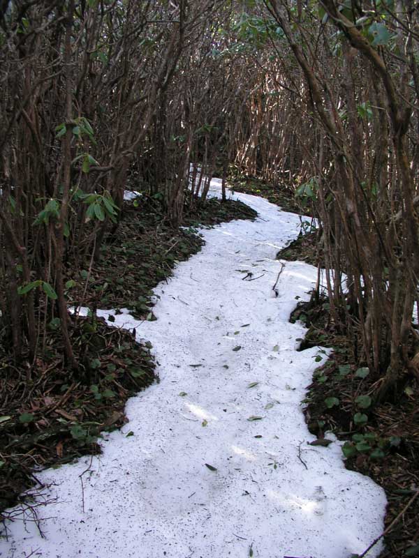
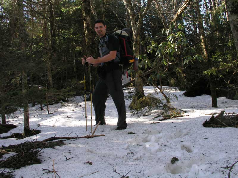
I also found myself punching steps into snow that ranged from a few inches in some places and up to my knees in others; somewhat of a surprise. The east facing slopes only get a little bit of sun in the morning while the temperatures are still low, so the snow tends to remain longer on the east faces.
Though it wasn't cold, the snow did provide for some challenging footwork since it covered roots and rocks. I was thankful that I had my trekking poles to keep me on balance. I tried to step around most of the snow, but as I climbed the snow eventually covered the entire floor of the forest.
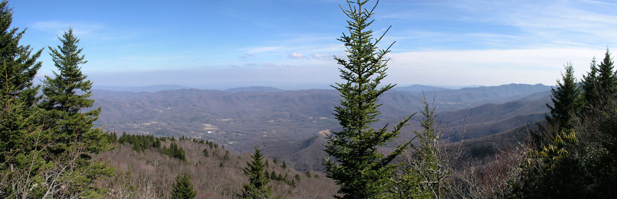
Finally around 4PM or so I topped out on the ridge and was happy to see a beautiful grassy expanse in the saddle that would be perfect for camping.
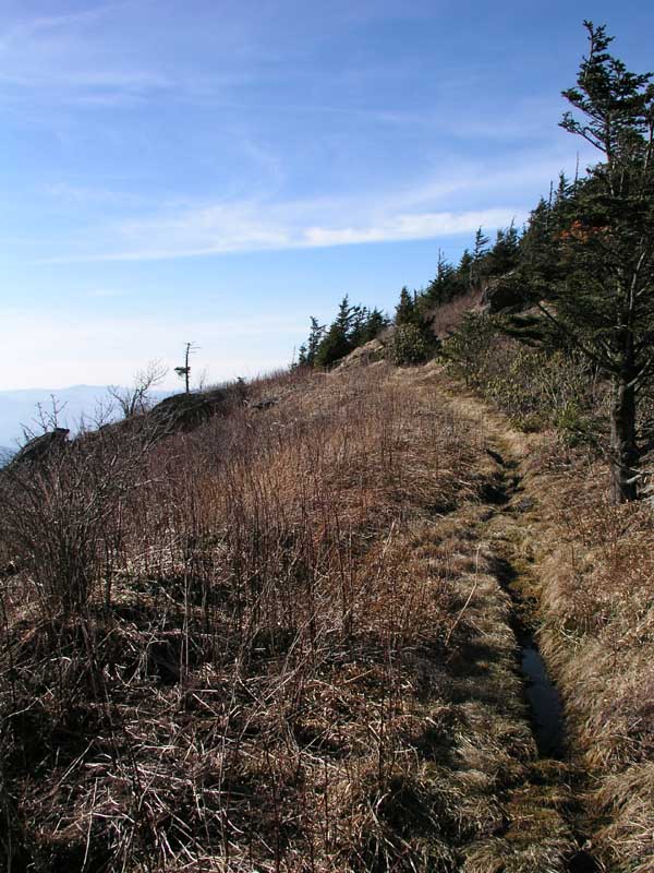
Some idiot once said "it doesn't count unless you reach the summit", so I hopped on the Crest Trail for a short distance heading for Celo Knob.
|
|